Lake Logipi
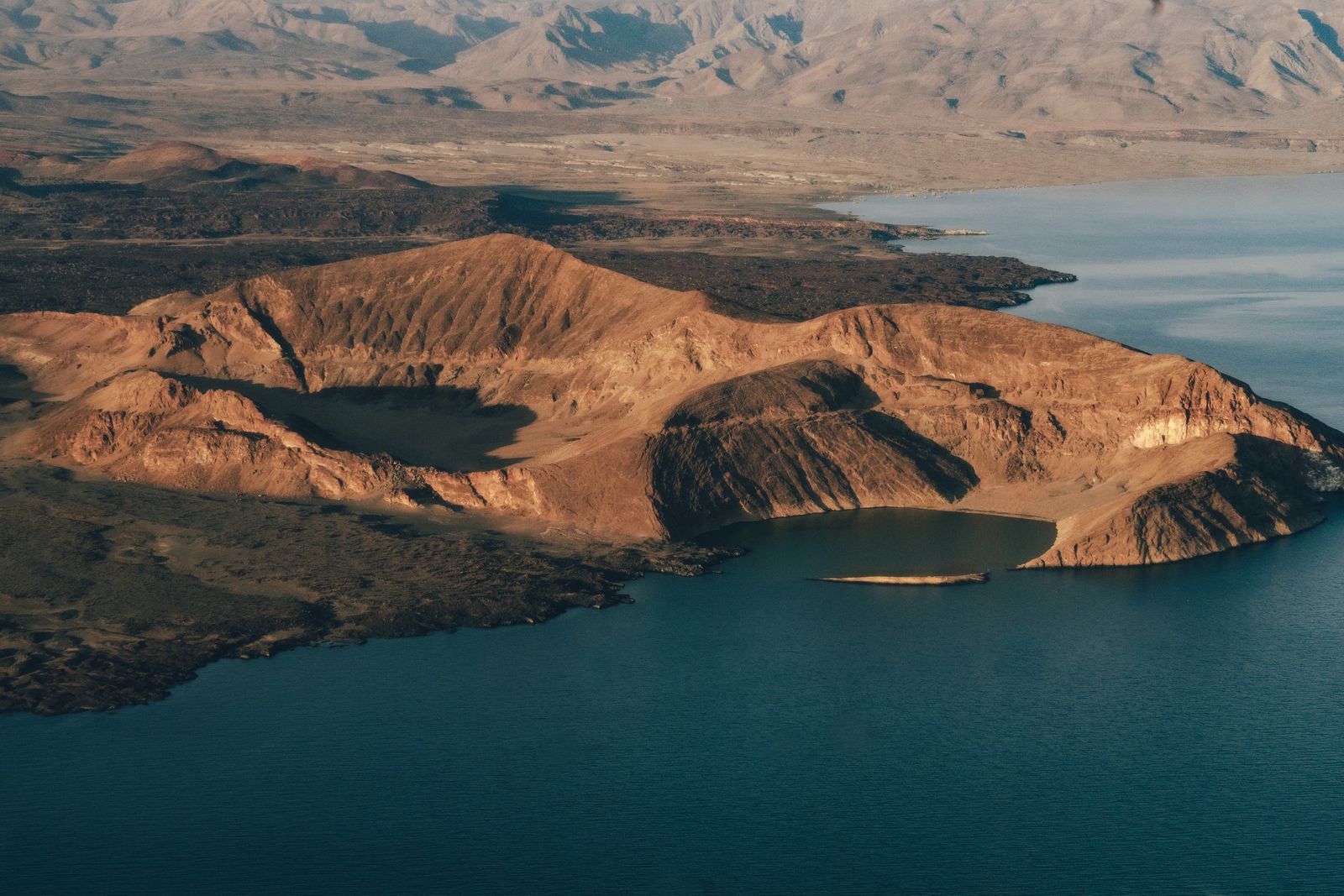
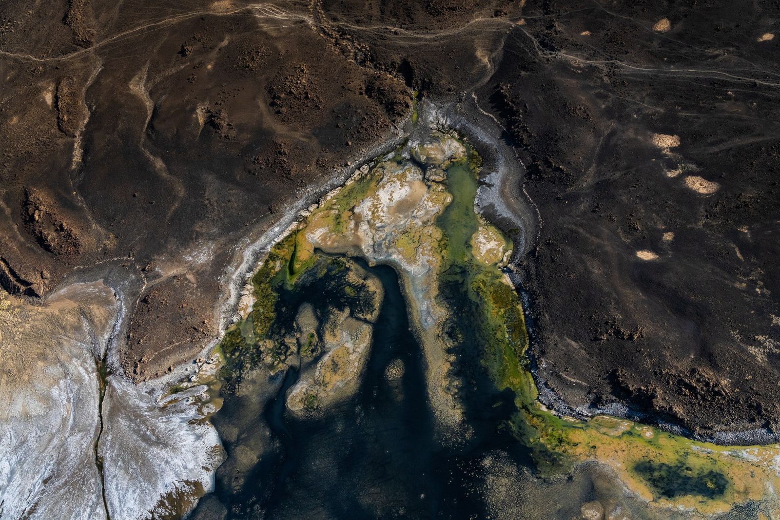
At the northern end of the Suguta Valley we reach the place where the Suguta River comes to an end. After good rains it spreads first into Lake Alablab, a shallow lake that comes and goes, and then into Lake Logipi beyond it, which is also known as Namakat. In wet years the two join in one sheet of water. Logipi is about six kilometres long and only a few metres deep. Hot salt springs feed it from the north shore and from the foot of Cathedral Rock. It has no outlet, so the sun takes the water and leaves the soda behind.
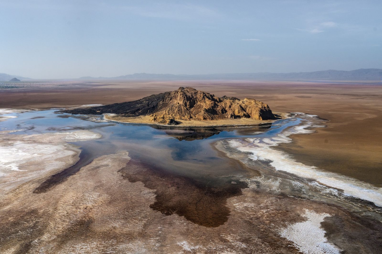
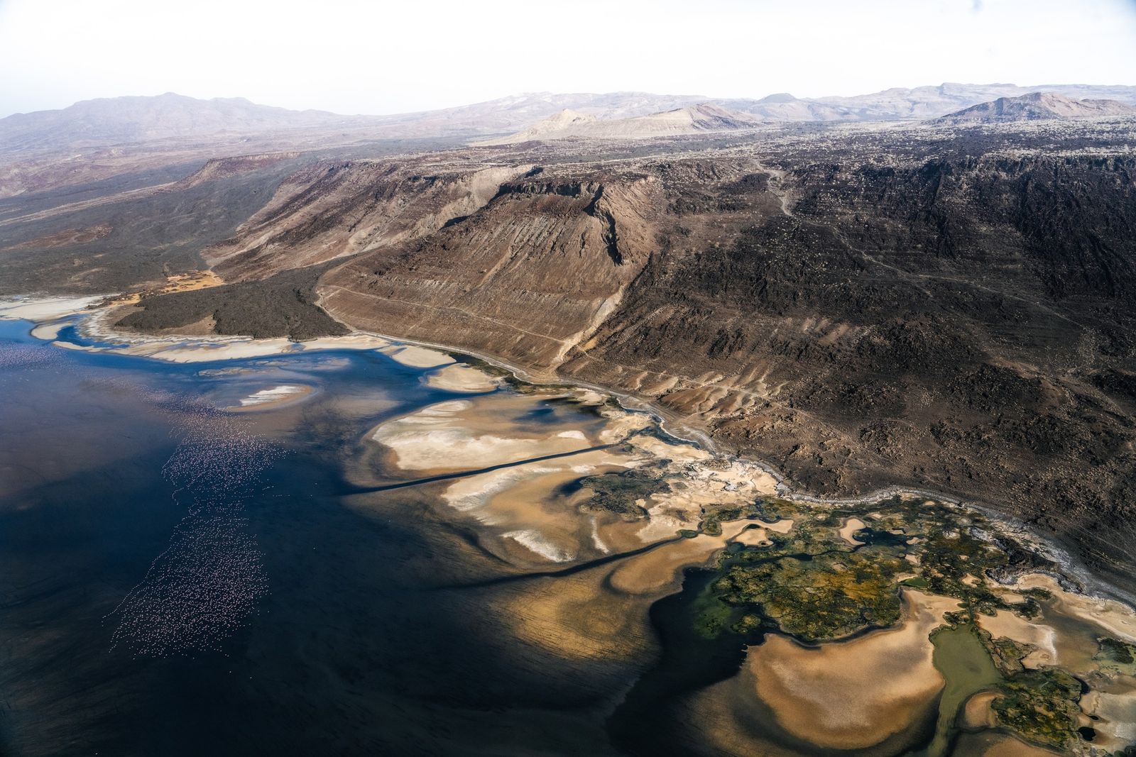
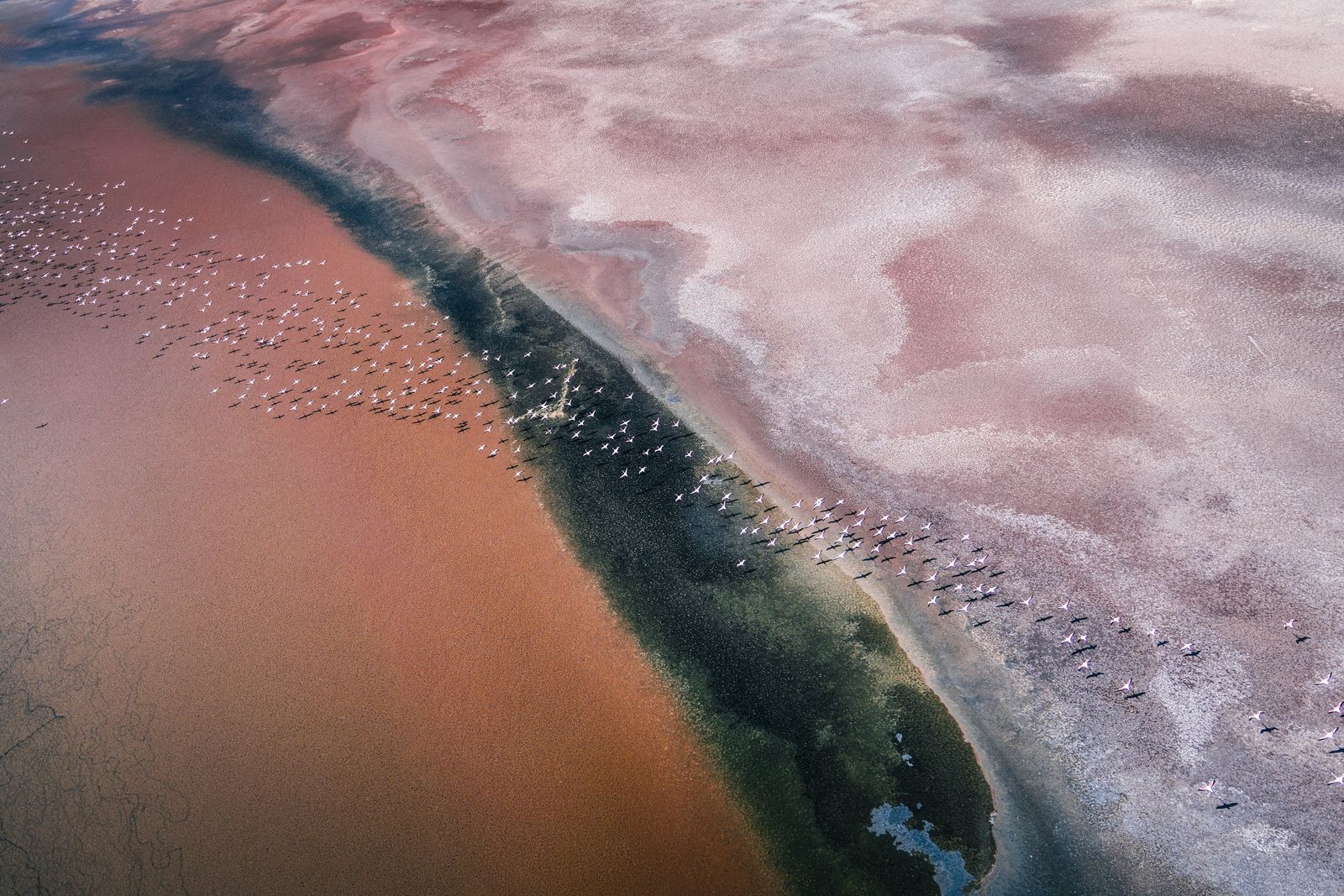
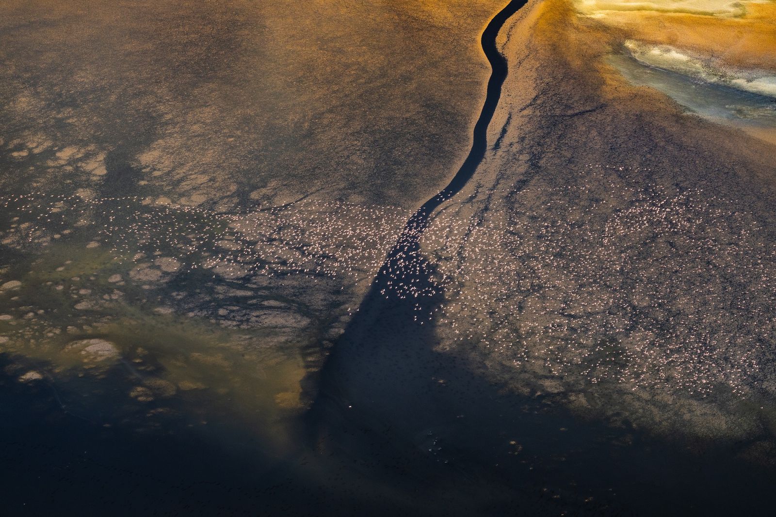
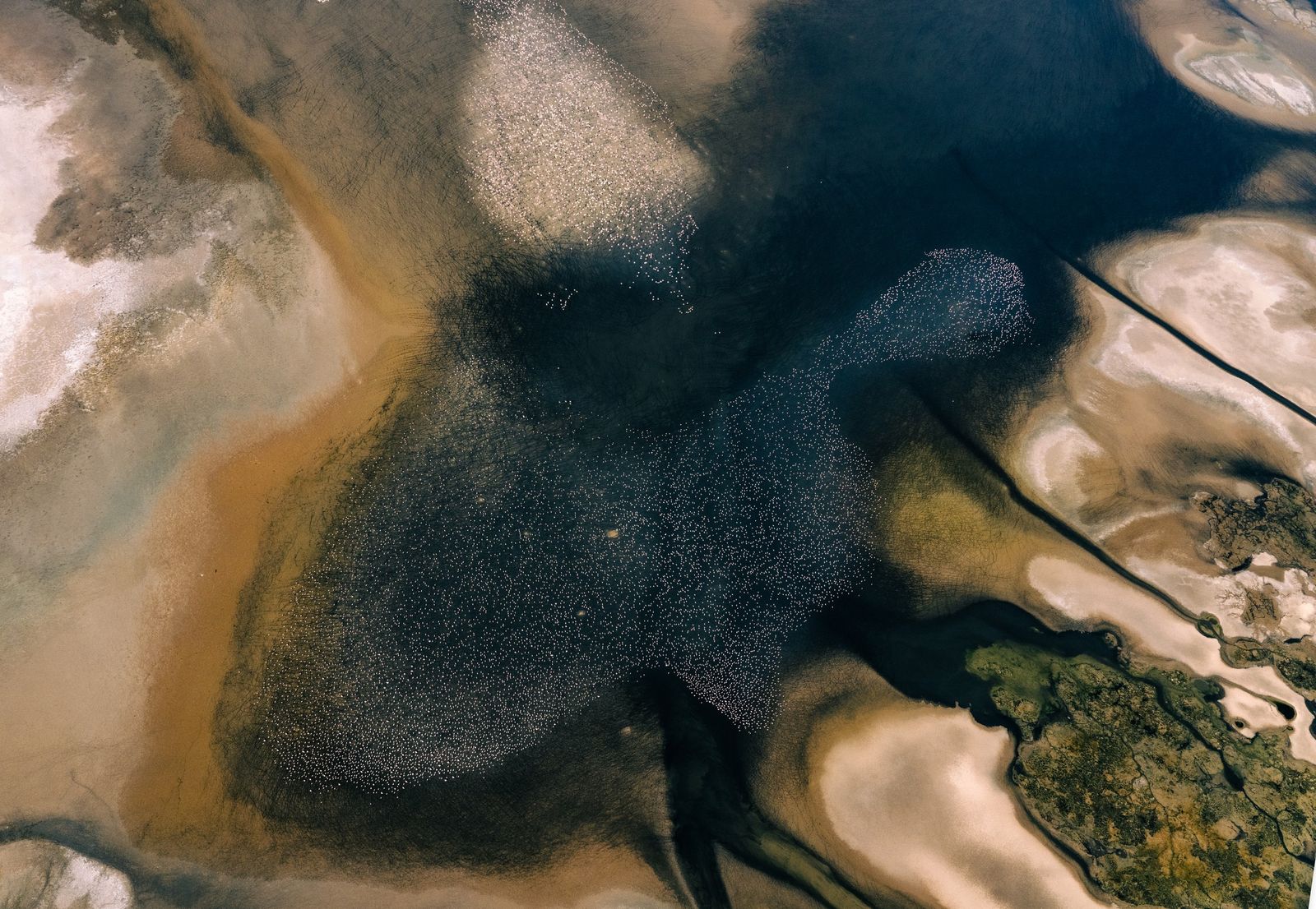
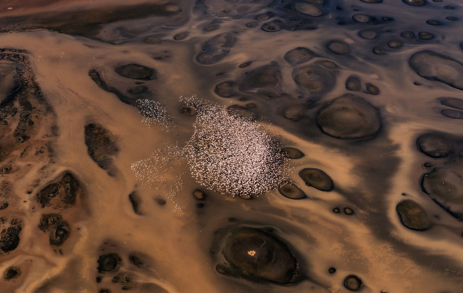
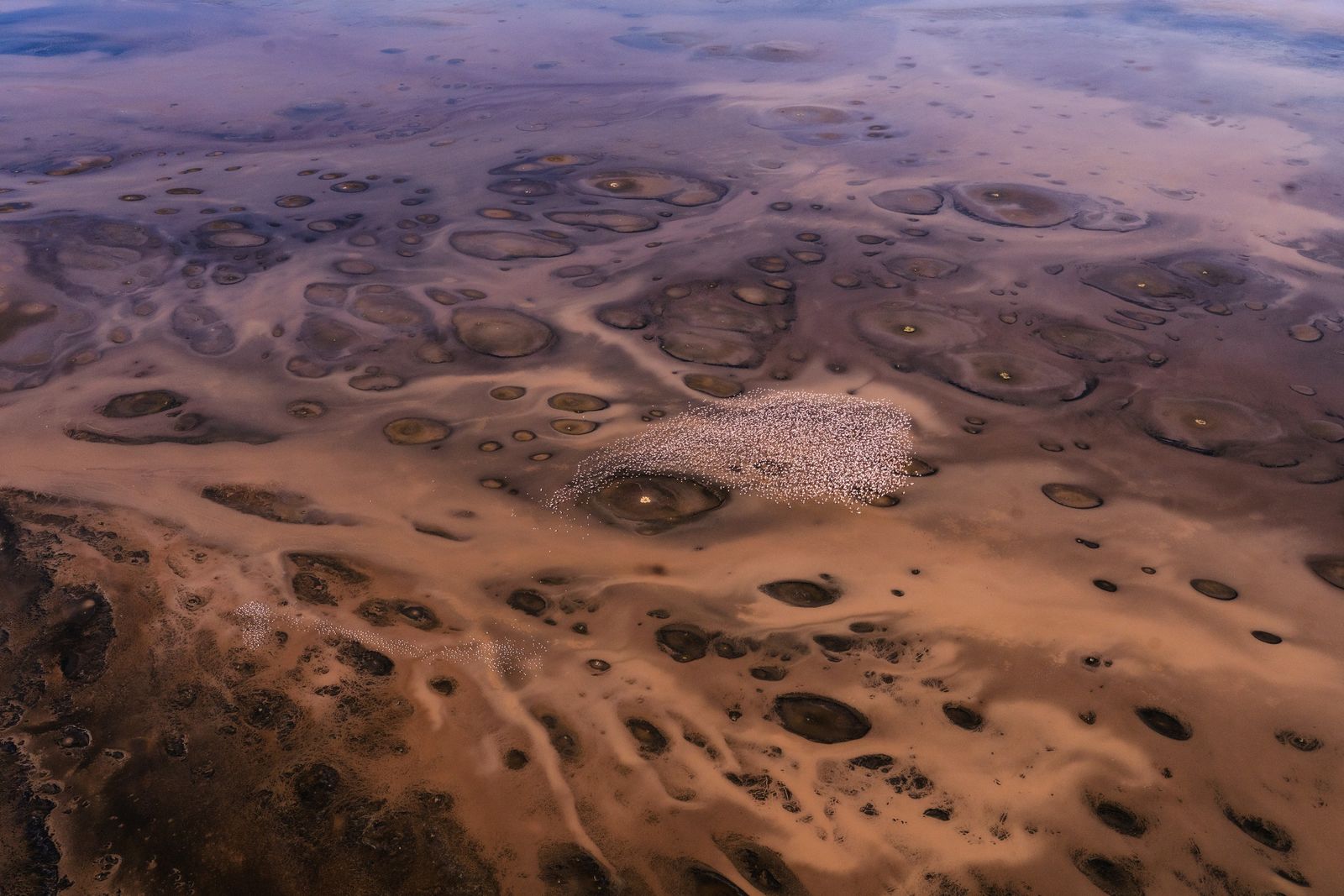
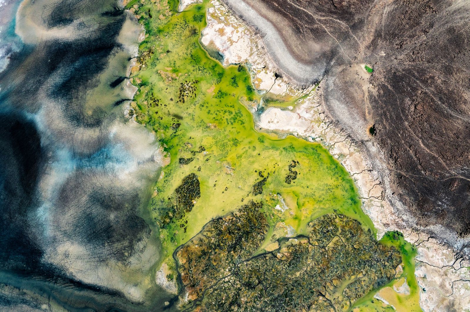
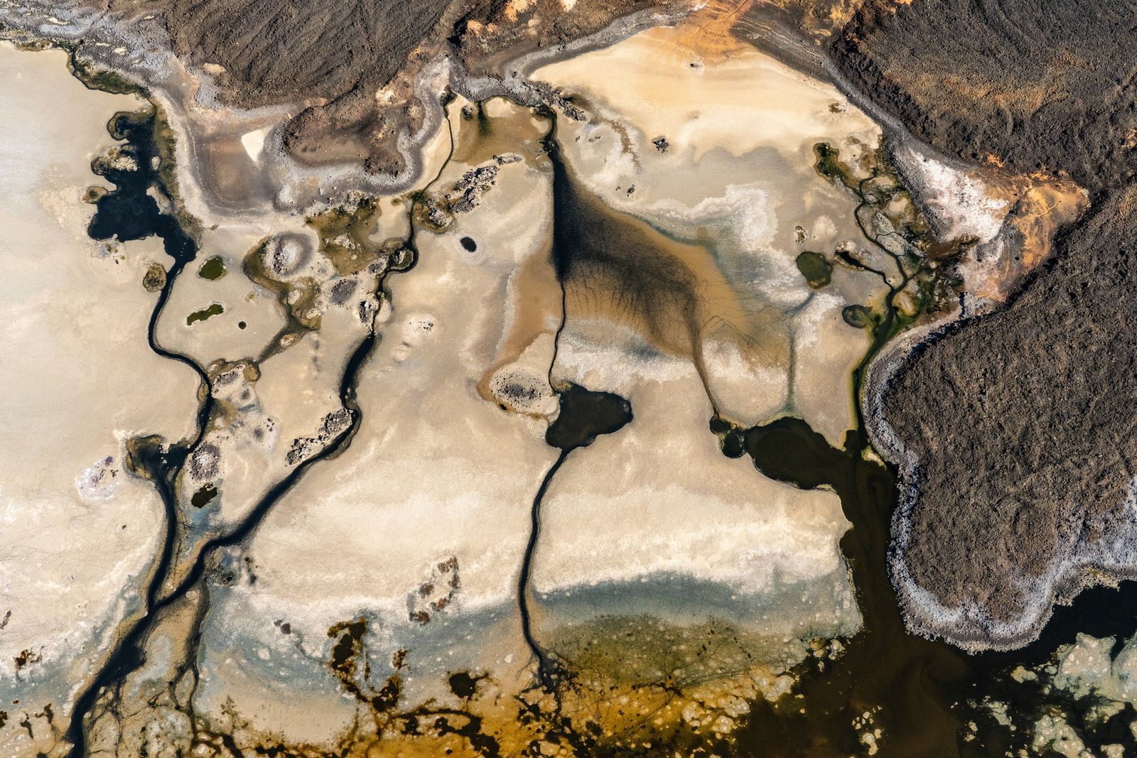
Very little can live in water this alkaline, and what can live in it has it to itself. Around the edges the soda dries into a white crust, and the springs cut dark channels through it. In the shallowest and saltiest places, microbes tint the water and the crust pink. Those are the colours in the photographs, and none of them has been added.
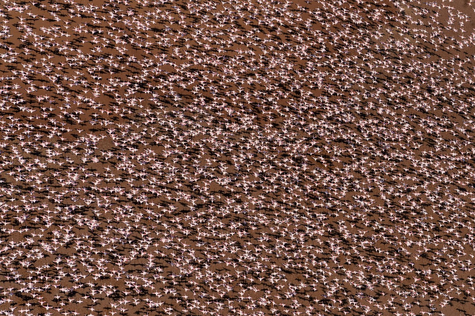
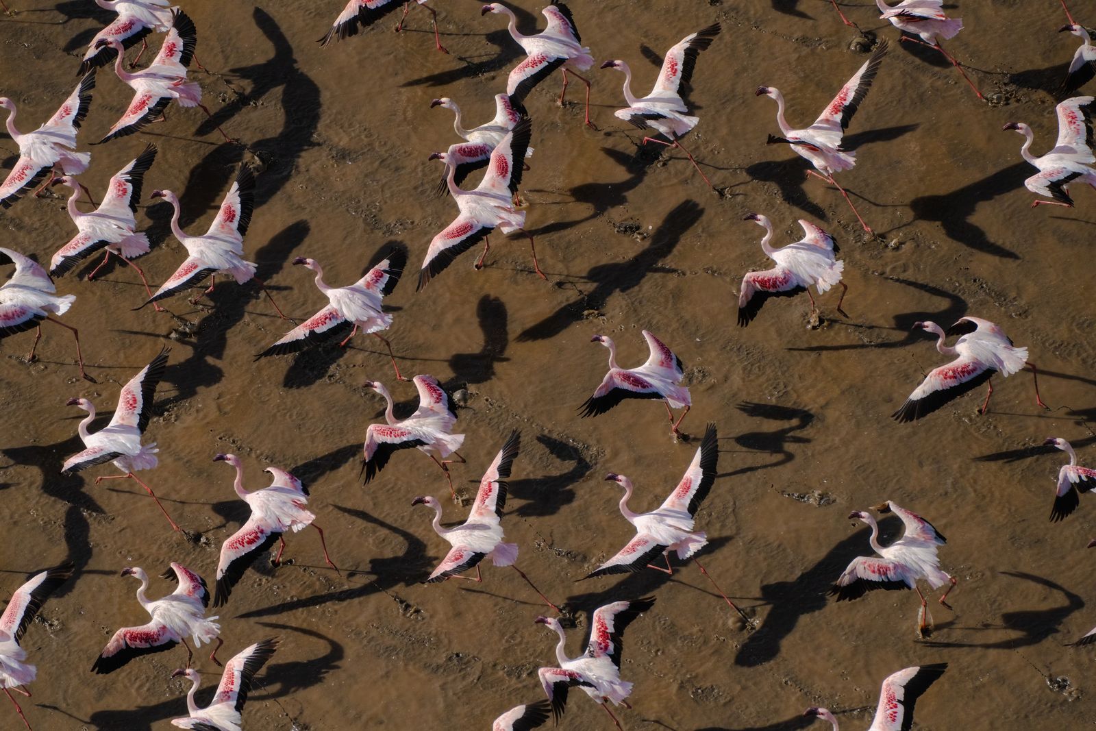
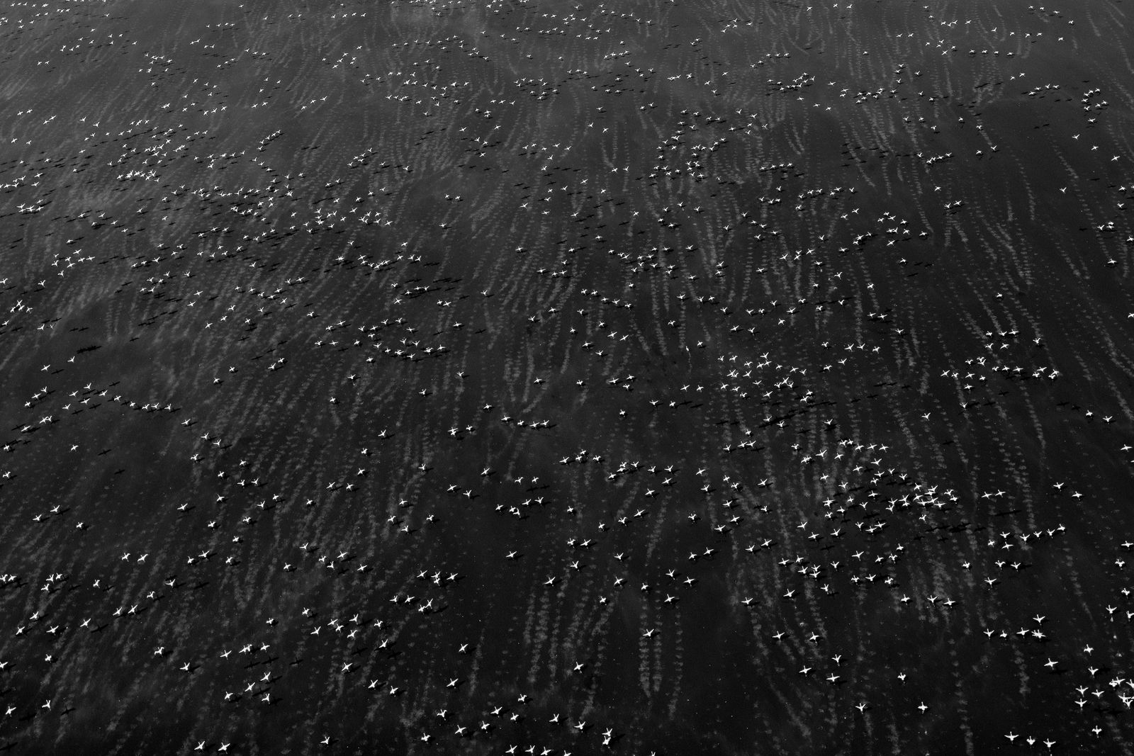
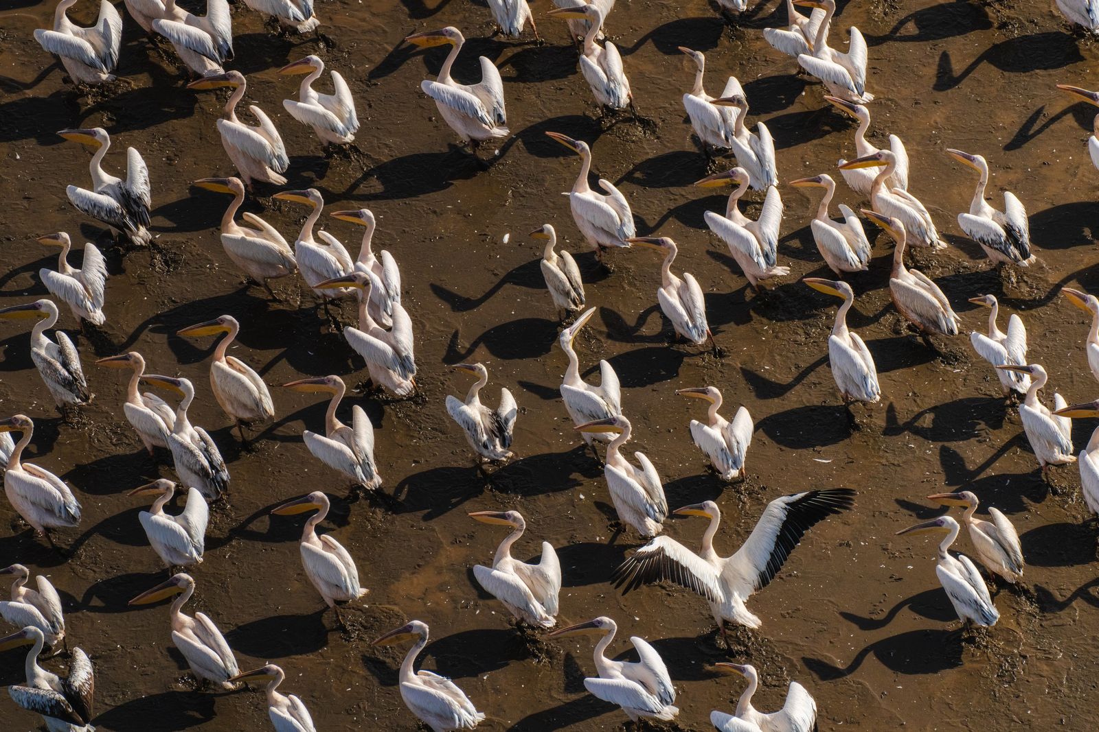
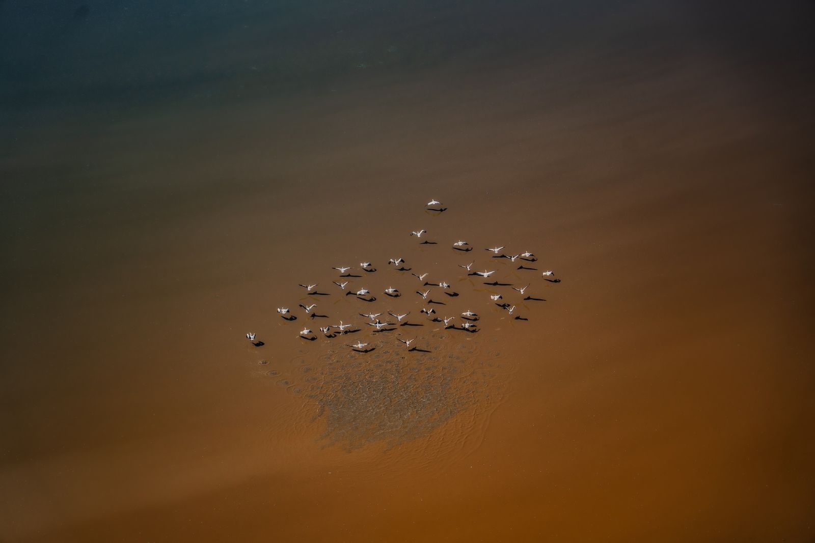
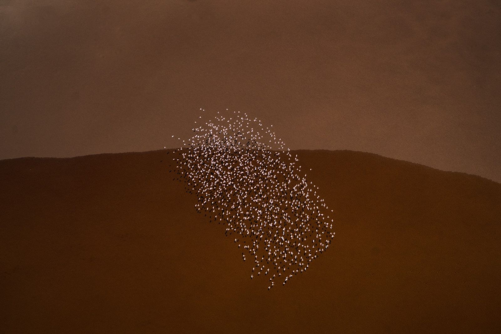
Lesser flamingos come to feed on the algae in the water, and the pigment in the algae is what makes the birds pink. They gather in tens of thousands, and in good years in far greater numbers. From above, a flock is a pale stain that drifts across the water and changes shape as it goes.
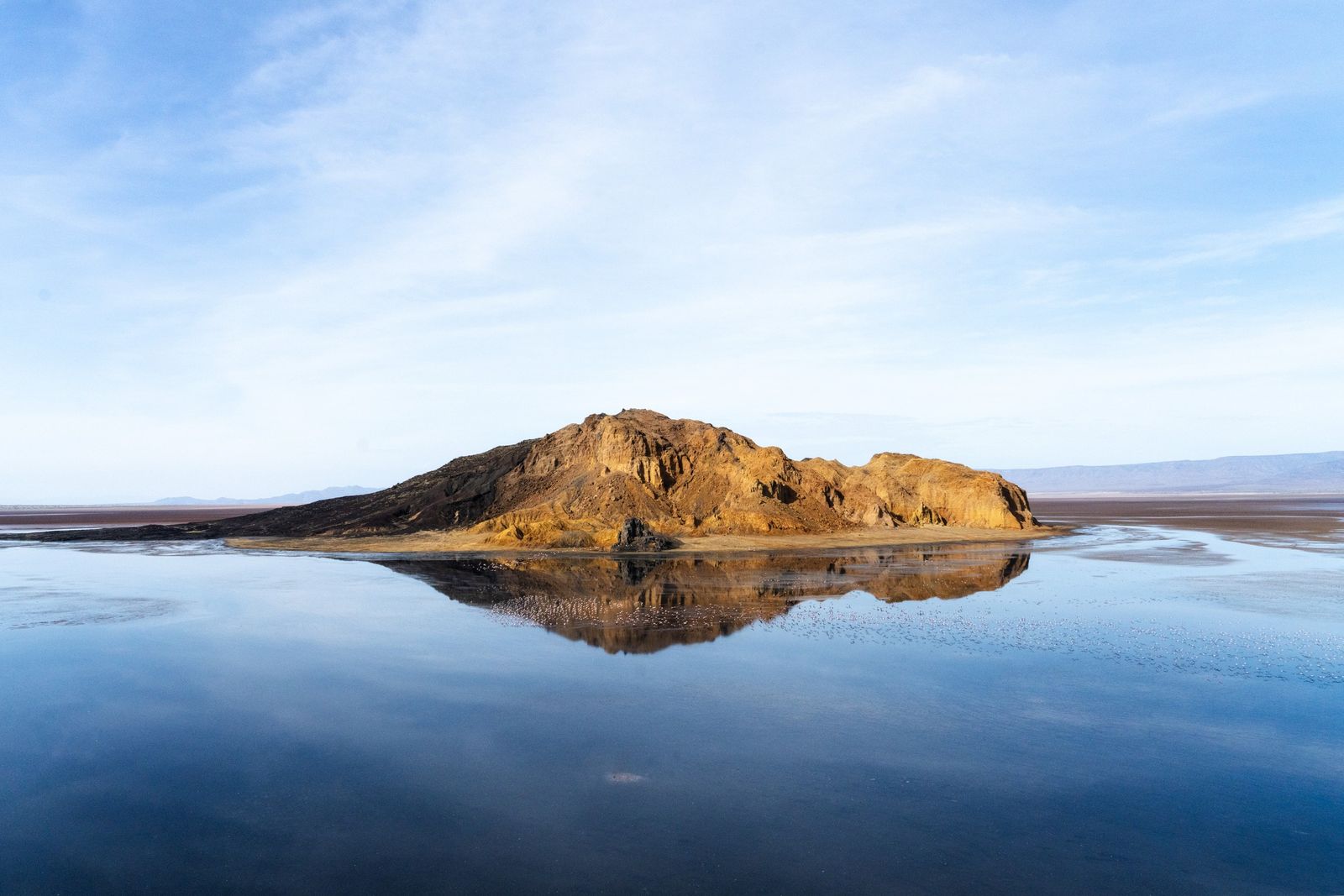
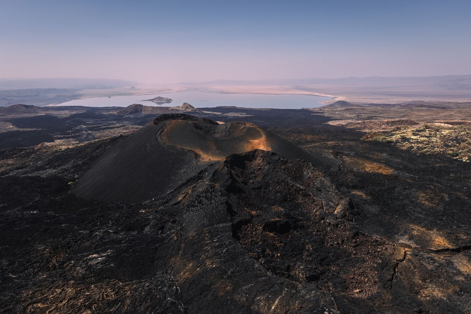
Cathedral Rock stands in the lake, the worn core of a small volcano. On a still day Logipi is a mirror, holding the rock and the whole sky. Behind the lake rises the Barrier, the volcano that closed the valley off from Lake Turkana. Its base is old lava, and on top stands a crowd of small, young cones that have buried the older rock in ash, two of them known as Teleki's Volcano and Andrew's Volcano. The Barrier last erupted in 1921.

Fine art prints from Lake Logipi
19 numbered limited editions. From 900 USD.
I show new prints to my list a week before they go on the site. Leave your address and I will write when there are more from this place.
A few letters a year. Unsubscribe with one click. Privacy